|
Advertisement / Annons: |
My travels in Sweden:
|
Contents:
|
|
You can use the maps from Stockholmskällan. It has the function that you can compare maps from different years. It's only one map that cover the areas outside Stockholm City, the map from 1934. |
|
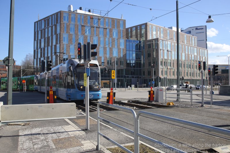
I written a lot about our travels abroad, why not show something from where I live? A weekend in the end of Mars we had fine weather and want to take a walk. We took the subway and then the tram to Sickla. From there we followed the harbors from Hammarby Sjöstad to Eriksdalsbadet. I have added links with deeper information, most of them are Wikipedia links. I have chosen the Swedish link, but in some cases you can shift to English. If there is no English version you can use Google translator or similar service. There are more information in the Swedish language. Harbors from Hammarby Sjöstad to Eriksdal:Map over our walk:From Nacka Station to Erikdals, it's about a 7 km long walk. Nacka Station / Sickla: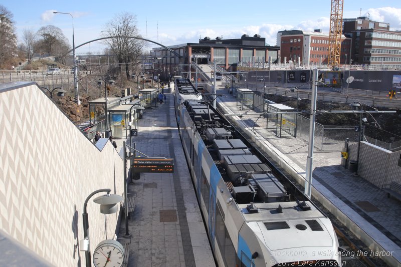
Nacka Station is the end station for the tram, there we jump off and started our walk. To the left is the old train Saltsjöbanan built 1891, it take you all the way to the coast and the village Saltsjöbaden. More to read about Saltsjöbanan at Wikipedia:
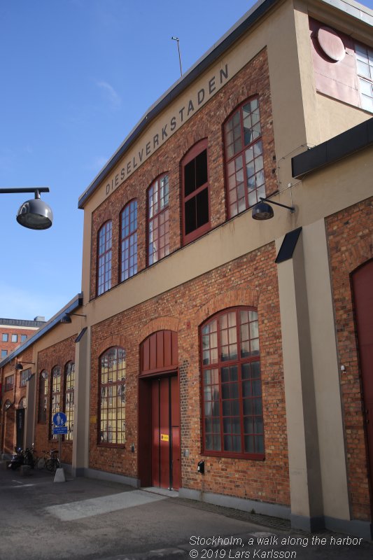
Here we are passing by the factory Dieselverkstaden. An old factory where Atlas manufactured Diesel engines. More to read about Dieselverkstaden at Wikipedia:
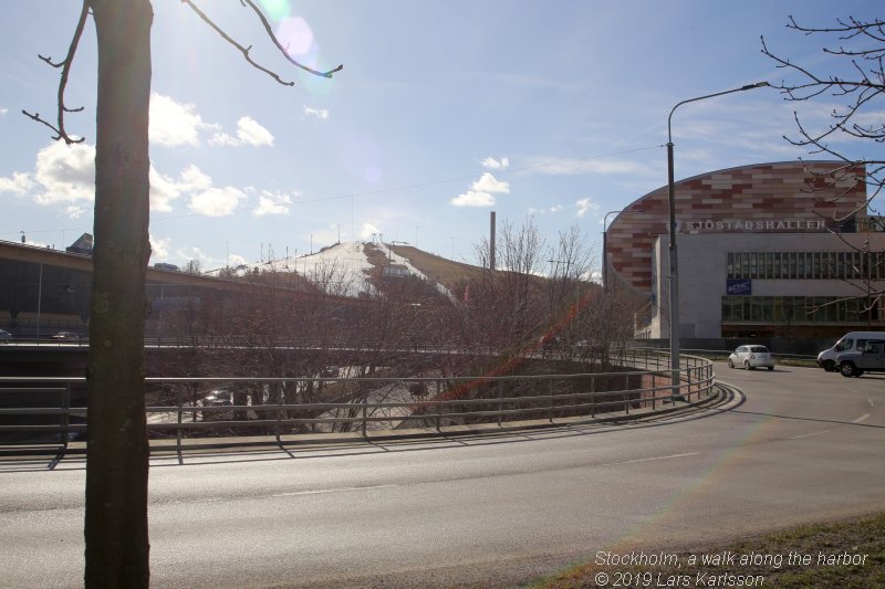
Did you know that it is possible to go downhill skiing in the middle of Stockholm City? See the hill in the background. More to read about Hammarbybacken at Wikipedia:
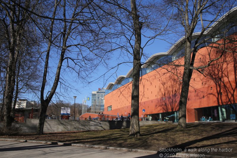
Hammarby Sjöstad:
Now we have come to a new part of Stockholm, Hammarby Sjöstad. Earlier were here old industries and not so nice area to walk through. More to read about Hammarby Sjöstad at Wikipedia:
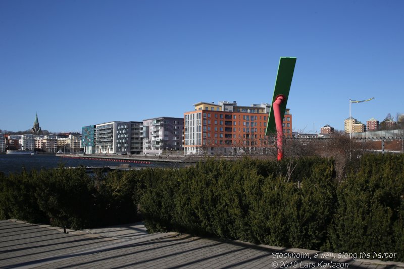
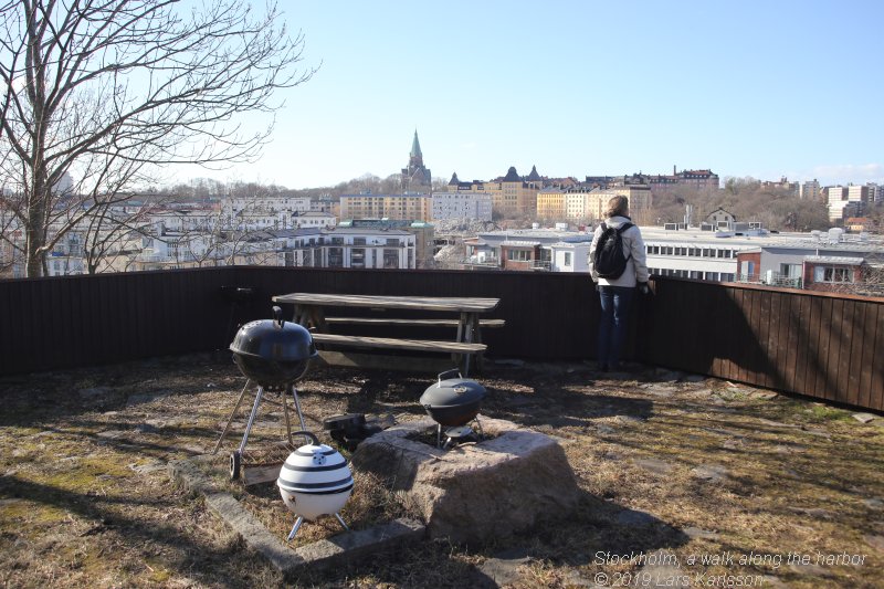
The harbor at Lugnets Alle. The houses in the background are the last houses they have completed here. 25 thousand citizen has got a new place to live at. 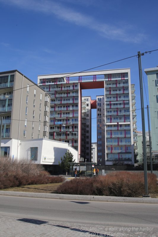
Exiting design of the house, normally Swedish houses are much more conservative. 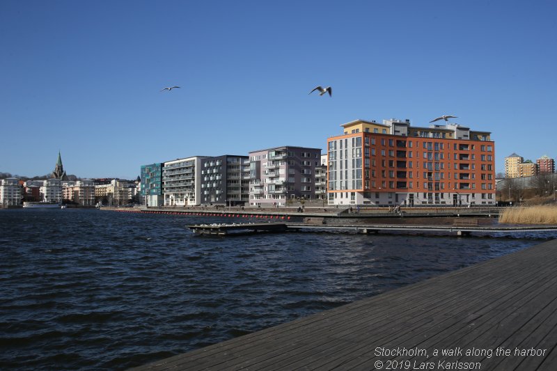
Earlier there were a Wood wholesaler here. They had to move before these houses was built. |
|
Advertisement / Annons: |
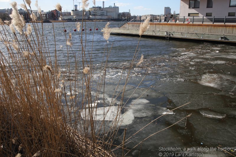
Late Mars and still cold in the water, a week or two and all the ice is gone. 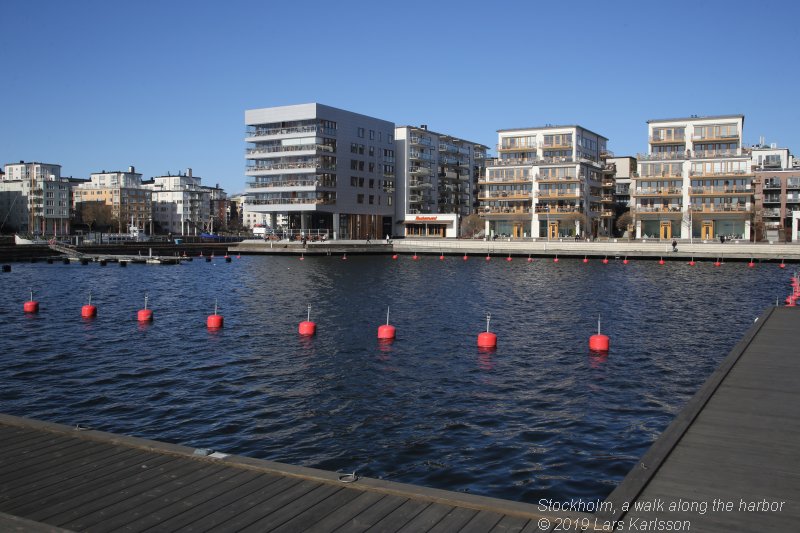
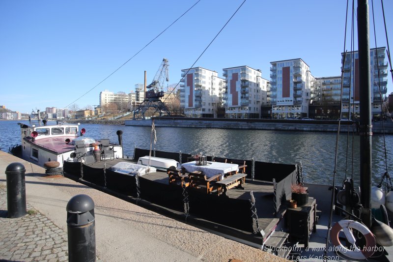
Live in a flat and have the boat just outside? 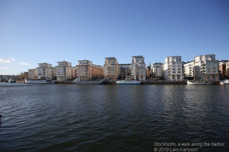
What we see over the water is the Southern part of the inner city of Stockholm, it's an island and has the name Södermalm. Even here it were industries, the houses are built between 1970 to 1990. The area is called Barnängen. More to read about Barnängen at Wikipedia:
This was long time ago a lake, the water level was then 5 meters higher. It was our king Gustaf Wasa who raised the water level to support the water mills in the 16th century. Now it's open to the Baltic Sea and big ships can go here and by the lock enter the lake Mälaren. More to read about Hammarby Sjö at Wikipedia:
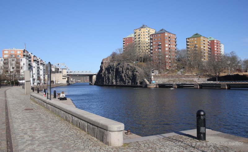
Danviksklippan: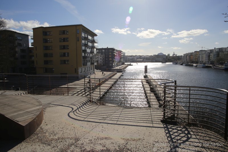
The next part of our walk will be over the hill Danviksklippan. 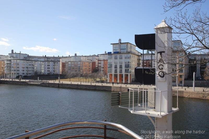
Here we see the light signal for the bridge opening. It was here already in the 1960s, I remember. The years between 1964 to 1973 my father and I have traveled over this water so many times with our boat Monalisa. 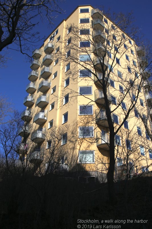
This area was already built in the 1940s. Nine high point houses with 10 floors. More to read about Danviksklippan at Wikipedia:
Danvikens Wind mill Klippan: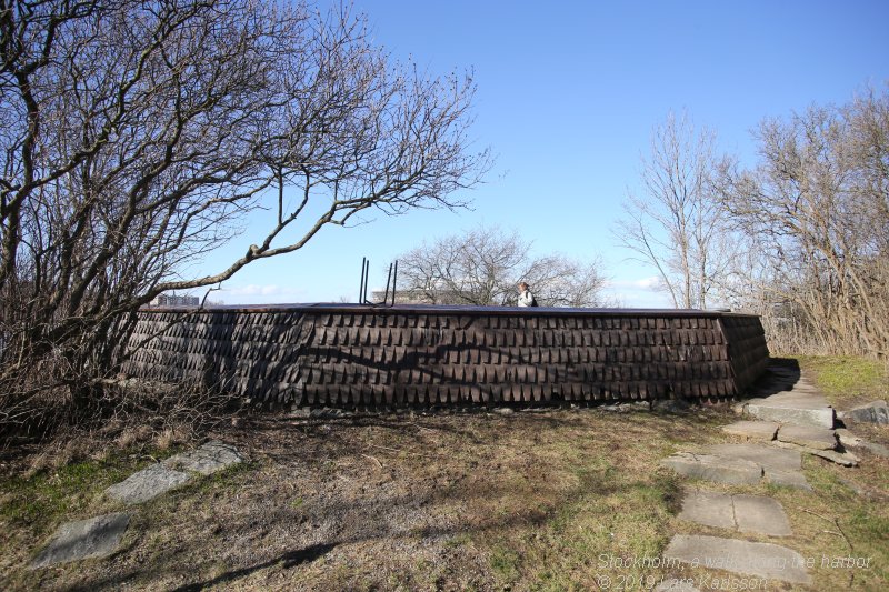
Among the houses on the top of Danviksklippan there is a ruin after a wind mill. It had the name Kvarnen Klippan and built already 1770 and taken down 1903, it could maybe have been more than one windmill over the years. More to read about windmill Klippan at Wikipedia:
|
The center stone of the windmill is still there. 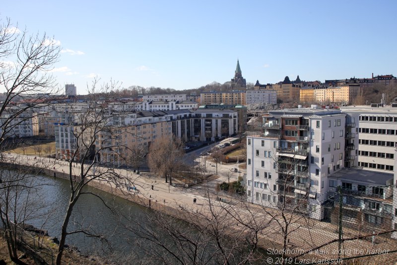
The view from here is breathtaking. We have here the southeastern parts of Stockholm inner city in front of us. Danviks bron (bridge):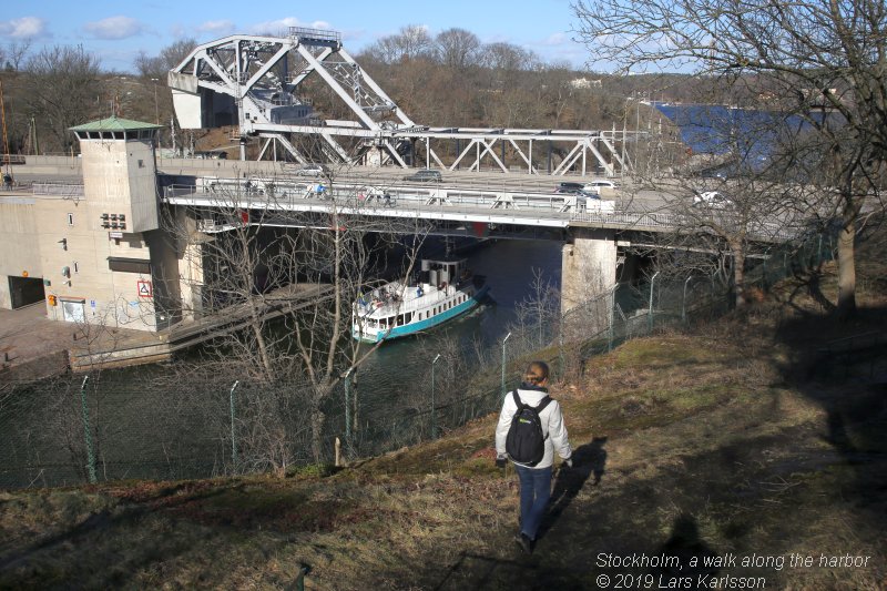
We climb down from Danviksklippan to enter the bridge Danviksbron. It will take us over to the island Södermalm which is one part of Stockholm City, the Southern part. More to read about Stockholm inner city at Wikipedia:
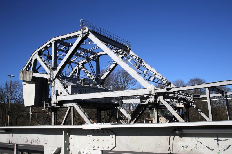
This old bridge Danviksbron was built already 1922. Earlier the road was at sea level. More to read about Danviksbron at Wikipedia:
Norra Hammarbyhamnen: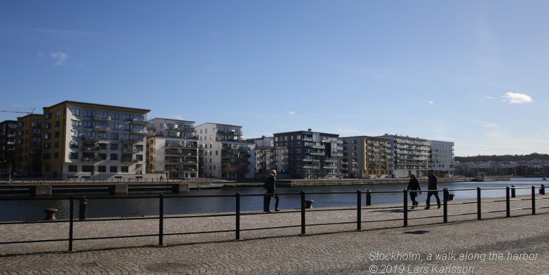
Now on Södermalm, this part of Södermalm is called Norra Hammarbyhamnen. We are looking over the sea against Södra Hammarbyhamnen. That's where we walked earlier. Behind of us we have the park, Mandelparken. More to read about Norra Hammarbyhamnen at Wikipedia:
From North we have a free view to Danvksklippan. The wind mill we saw the ruins of was placed between the red and yellow house over there on left side. 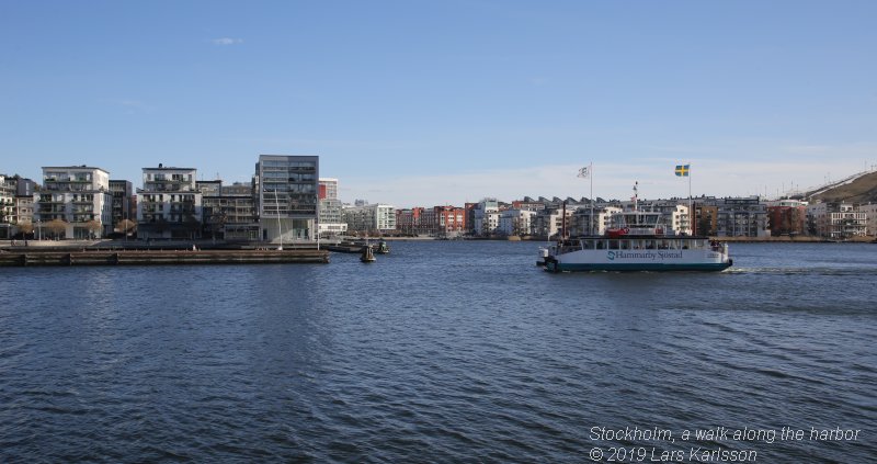
In recent years Stockholm City has reintroduced ferries, in front of us we have the ferry Emelie. In earlier times it was very common with ferries. This one is free to enter and you can have your bicycle with you. There is a departure every 20 minutes. Anna Lindh's park: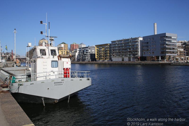
They built a lot in this area and to that they need a lot of sand. This is one of the ship that deliver the sand, Jehander 2. Behind us is Anna Lindh's park. |
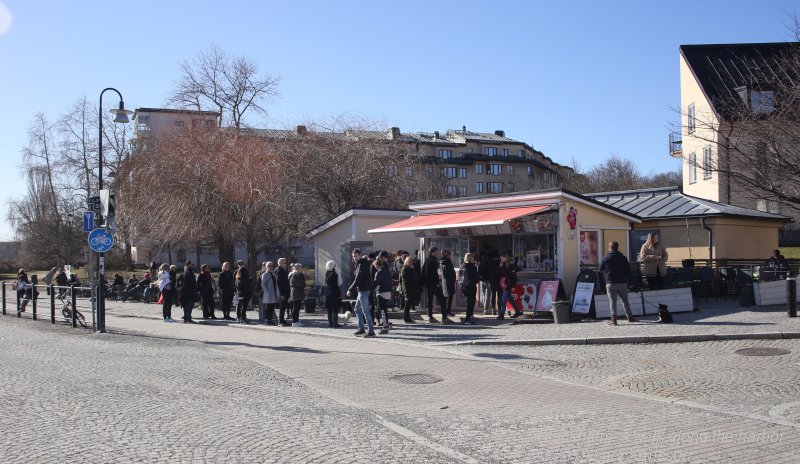
A lot of hungry peolpe out in the sunshine. 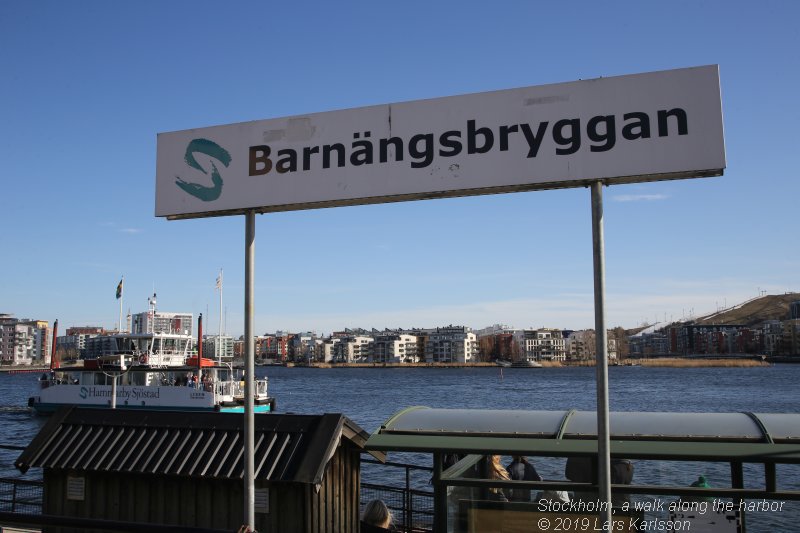
One of the stations to the ferry. 
At the end of the canal over there there is a lock to the lake Sickla Sjö. I don't know, but it could have been at some of this harbor at Hammarby Sjö my father anchored with the ships he was at during the war, see my story Evert adventures at sea 1937 to 1945. His best friend Skepparen (Skipper) anchored here and that is for sure because my sisters visited him here. 
The building on the other side was once a factory for bulb lamps, Lumafabriken (Luma factory). The little glass house on the top of the roof was where they tested the lamps. More to read about Lumafabriken at Wikipedia:
In the background there is a portal crane, one of few left. Once Stockholm City had 148 cranes at the same time. More to read about Luma (and the crane) at Wikipedia:
Hammarbyslussen (lock):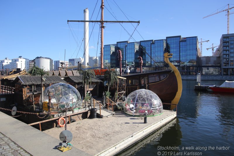
Now we had come all the way to the lock, Hammarbyslussen. The lock separate the Baltic Sea from the lake Mälaren. In front of us we have the Thaiboat, unluckily it was closed and we were hungry. On the opposite side General Motors had a plant, opened 1928 and shut down 1978. More to read about Hammarbyslussen at Wikipedia:
If you find it interesting to know how Hammarbyhamanen looked in earlier days, have a look at Stockholmskällan:
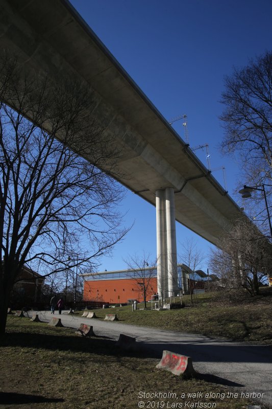
There are three bridges over here, this one is the newest, Johanneshovsbron built 1984. 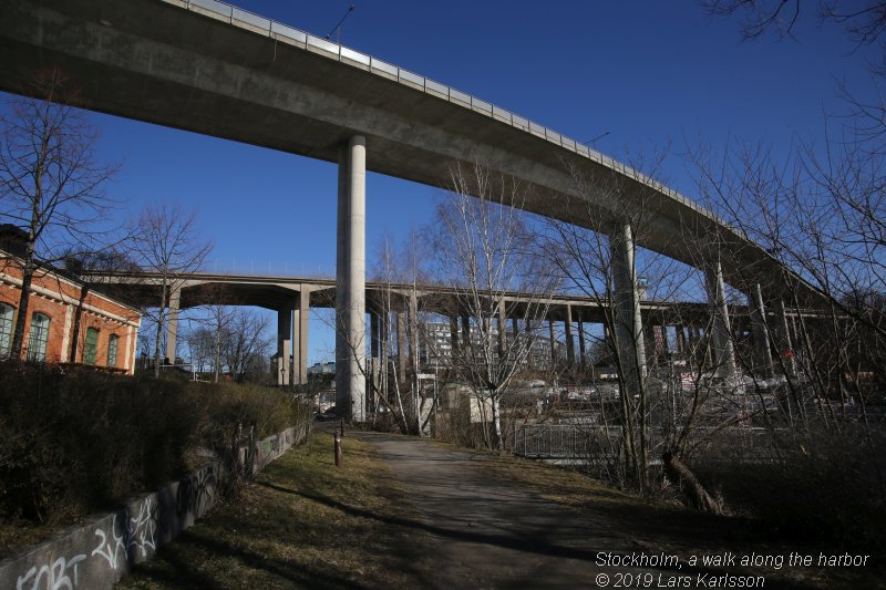
More to read about the three bridges at Wikipedia:
|
Eriksdals: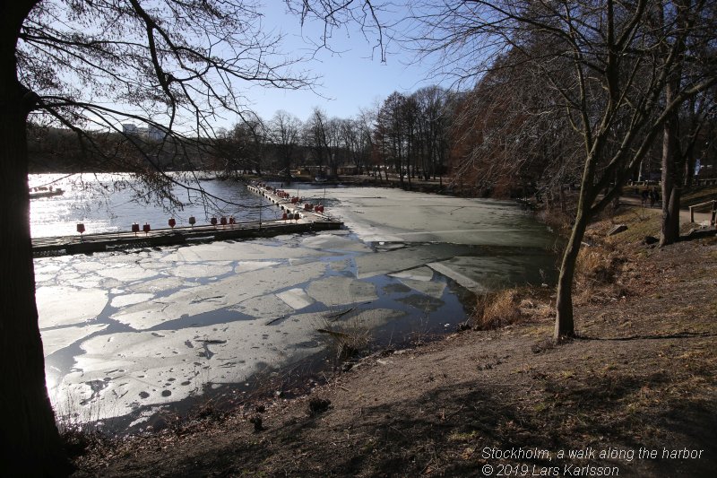
Now we had come to Eriksdal where we end our walk. Here was earlier Stockholm's freshwater plant. More to read about Eriksdal at Wikipedia:
When the freshwater plant was shut down 1929 they used it as a bath instead. This is nowadays Erikdalsbadet built 1999. More to read about Eriksdalsbadet at Wikipedia:
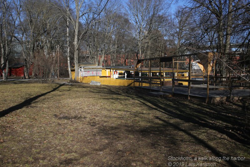
Even this cafe was closed, Gula Villan or Yellow House in English. 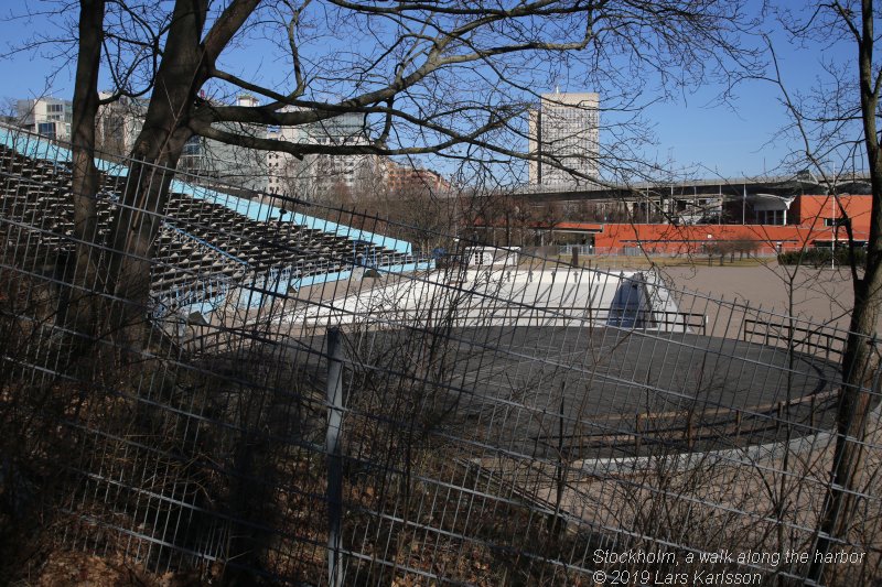
Two of five pools at Erikdalsbadet. 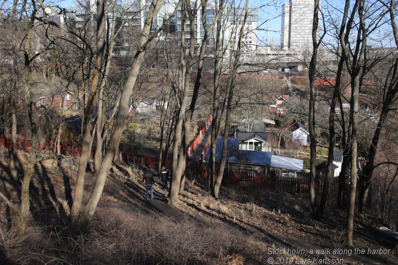
Even in central Stockholm you can find these red small houses, we call them "Kollonilotter" in Sweden. Ringvägen: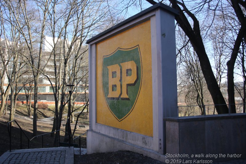
Now it's time to take the subway home. On the way to the station we pass by this old sign, British Petroleum. In earlier days there were a lot of gas stations in the city. One after one they have closed down. In this case they left this sign. More to read about BP and the above sign at Wikipedia:
Did you find it interesting to follow a walk like this? Maybe I bring the camera with me on a new walk later.
|
| Go Back |